

See live traffic conditions in the Madison area as powerful storm delivers opening salvo of snow

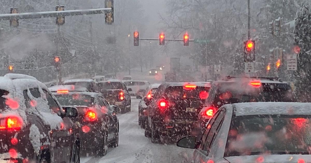
The opening salvo of snow from a powerful, days-long storm system was keeping road crews and law enforcement busy across Wisconsin on Thursday morning.
The state road conditions map shows crashes and blockages on Wisconsin’s major highways.
A winter storm warning is in effect for all of Wisconsin through 6 am Saturday, with snow totals ranging from 2 to 4 inches in far northwestern Wisconsin and 3 to 6 inches in southeastern Wisconsin, to the heaviest swath of 5 to 13 inches between those areas running northeast from the southwest corner of the state. Northeastern Wisconsin was forecast to get the most, with Green Bay at 7 to 11 inches and Sturgeon Bay at 9 to 13 inches.
People are also reading…
But the wind will be the biggest travel hazard, picking up Thursday and gusting from 40 to 50 miles per hour Thursday night and Friday. Bitter cold air will rush in as well, dropping wind chills to 25 to 35 below from Thursday late afternoon into Saturday for southern Wisconsin.
The National Weather Service warned that travel could be very difficult, especially once the winds pick up and possibly produce near blizzard conditions at times.
Madison Streets Division trucks have been treating the main thoroughfares since the snow began, and crews will continue working the routes for the duration of the storm.
Due to the cold temperatures, the Streets Division shifted from applying salt to putting down sand on the hills, curves, and intersections to provide traction. That means those streets will be snow-covered, and they will remain snow-covered until after Christmas, when temperatures are expected to rebound.
For live traffic updates, follow 511 Wisconsin or the Wisconsin Department of Transportation on Twitter.
School delays and closings for the area can be found at NBC15.
Be the first to know
Get local news delivered to your inbox!

Comments are closed.